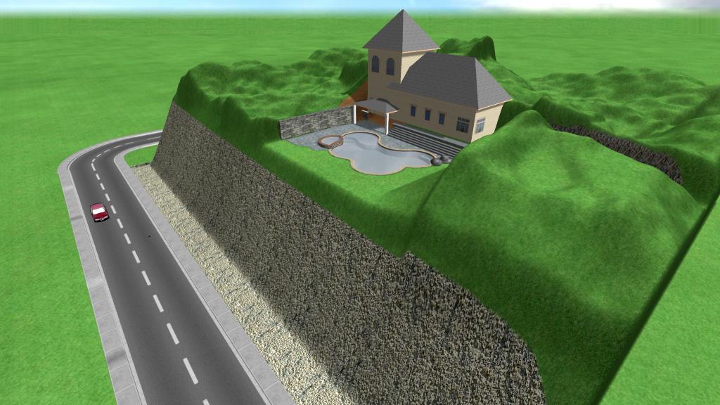
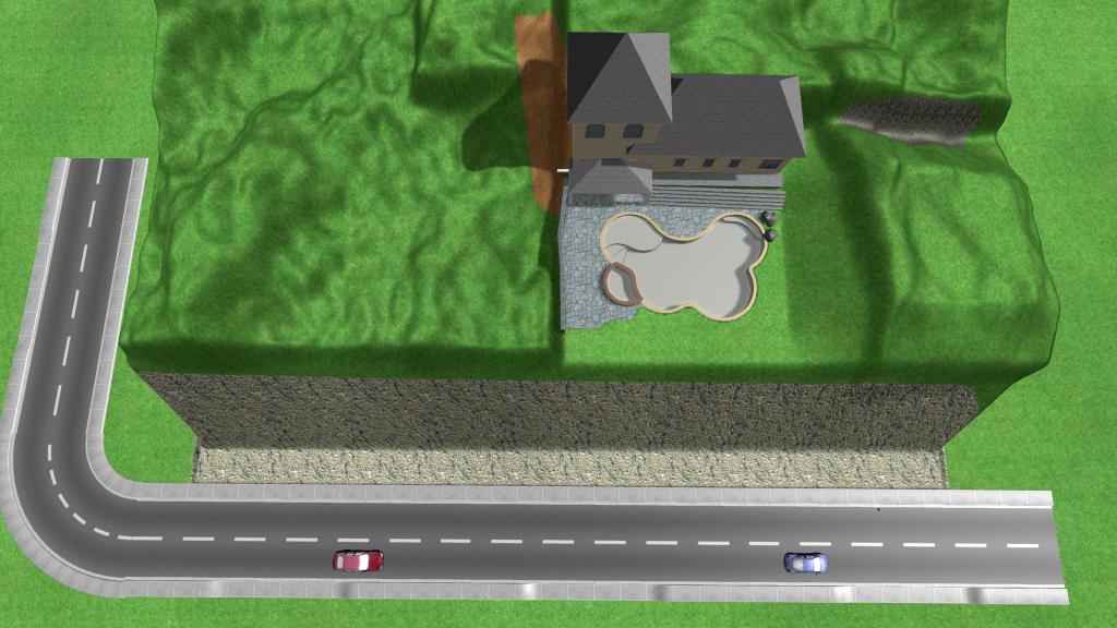
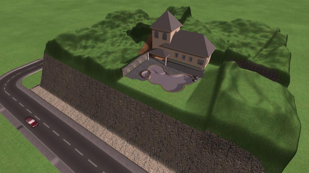
Use the design tools to create any type of
multi-terrain
slopes,
channels, pathways,
mounds & divots not possible with other
programs ...
OR,
just Import the existing
topography and Google
Earth too
...
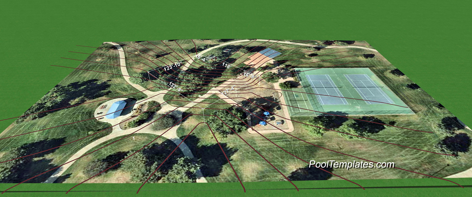
Import
any geo file and it draws
the 1D contour lines and the
3D terrain
with one-click!
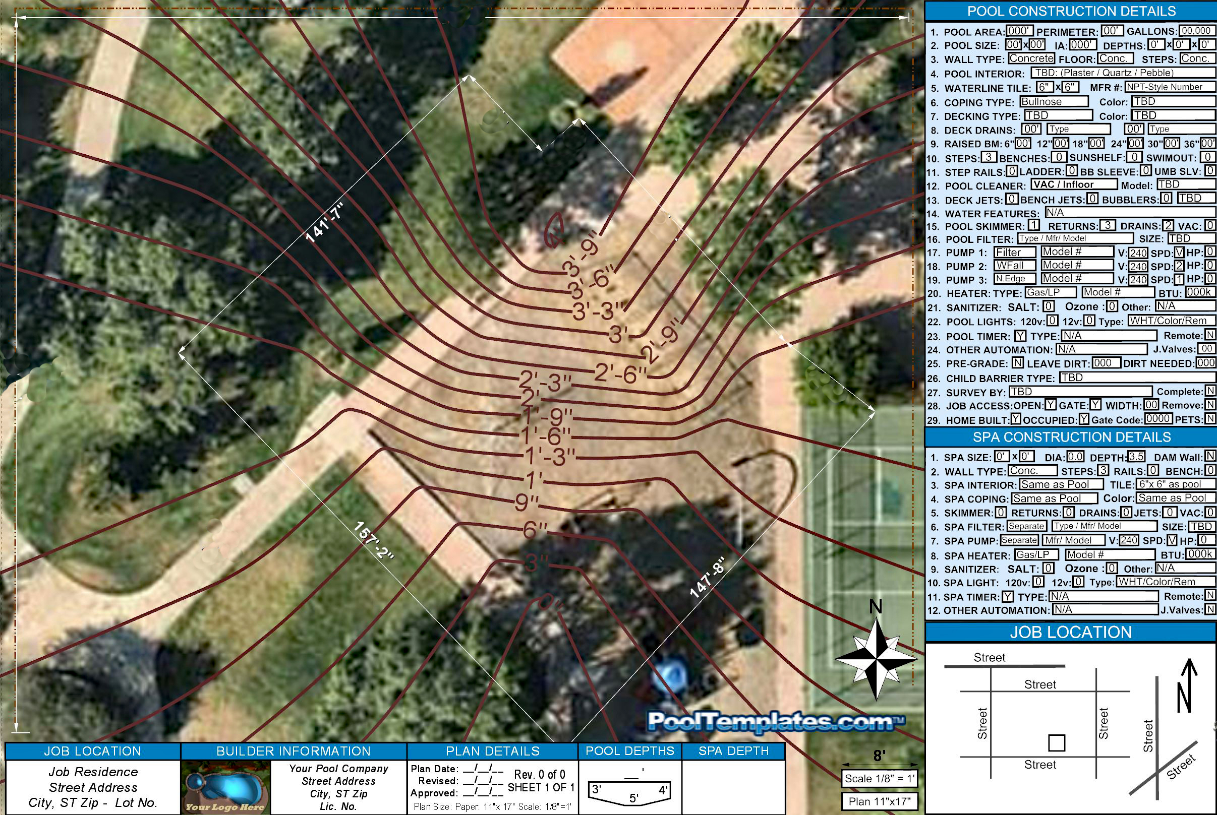
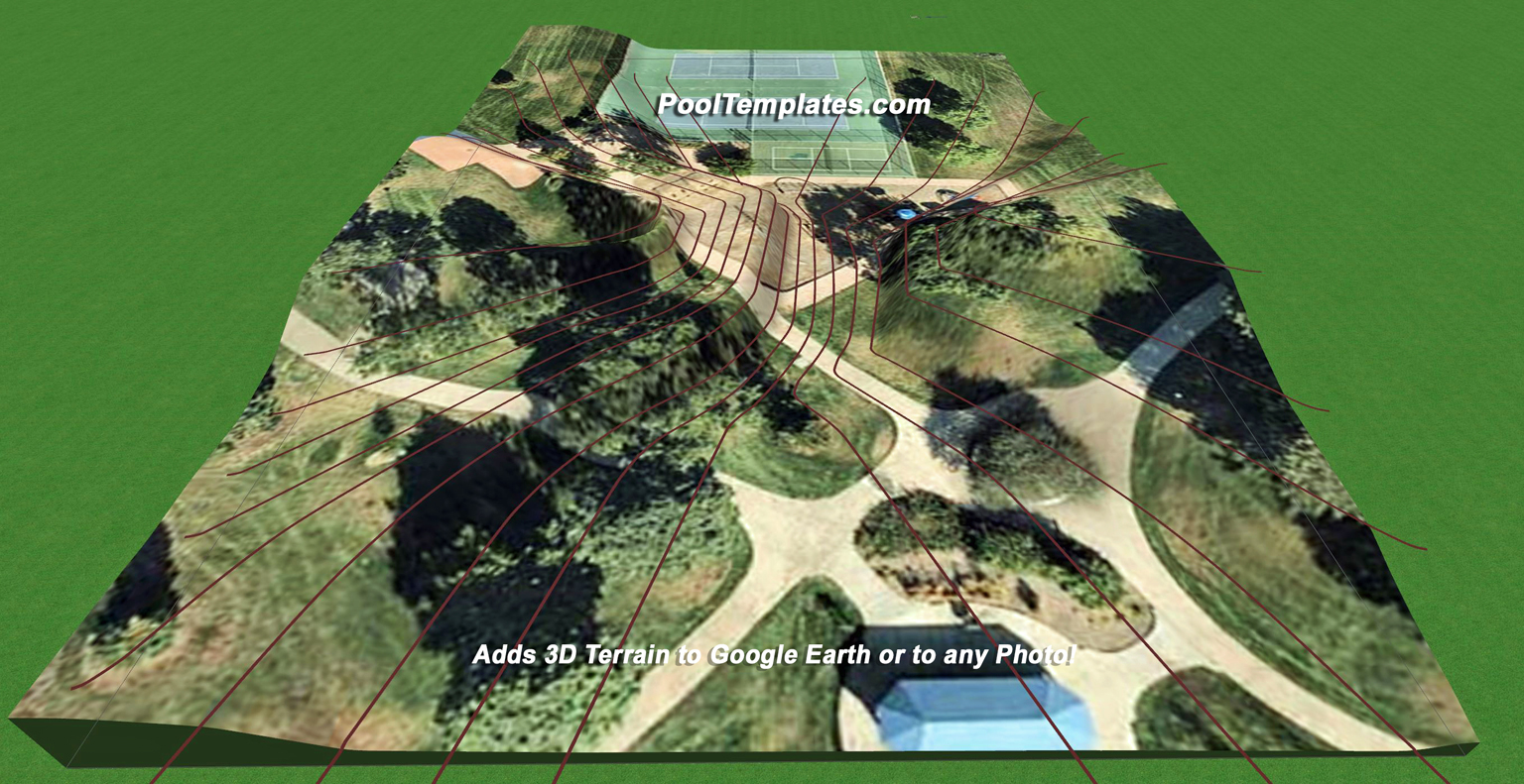
Adds
1D
contour lines &
elevations
and
creates
the 3D terrain
under your Google Earth or other photo!
see movie
Then
walkthrough the entire landscape in real time!
![]()
![]()
Click here to view another project
Esri
ArcGIS
and
Google Earth
are trademarks
of their respective owners
Copyright © 2022 PoolTemplates.com - ESI Corporation